Fish population recovery monitoring is a process of tracking the abundance, distribution, and health of fish populations that have been impacted by human activities or environmental factors. The objective of this monitoring is to assess the success of conservation efforts, such as habitat restoration or fishing regulations, and to identify any potential threats to the recovery of the population.
The monitoring process typically involves collecting data on various aspects of the fish population, such as the number and size of individuals, reproductive success, and genetic diversity. This data can be gathered through various methods, such as electrofishing, netting, or using acoustic or satellite tags.
Once the data is collected, our researchers analyze it to determine the overall health and status of the population. They may also compare the data to previous years or populations of the same species in other areas to identify trends or patterns.
Based on the monitoring results, management strategies can be adjusted as needed to support the recovery of the fish population. For example, if the data shows that the population is not recovering as expected, additional conservation efforts, such as stricter fishing regulations or additional habitat restoration projects, may be implemented.

Fish salvage refers to rescuing fish from an area that is about to be impacted by a disturbance, such as a construction project, dam removal, or other environmental alteration. The goal of fish salvage is to minimize the negative impact of the disruption on the fish population by safely relocating the fish to another suitable location before the disturbance occurs.
Our team of experts uses various techniques to capture the fish from the affected area. These techniques may include electrofishing, netting, or trapping. The caught fish are then transported to a temporary holding facility, where they are evaluated for any injuries or stress and treated if necessary. Finally, our team releases them into a suitable habitat similar to their original habitat.
Fish salvage is a vital conservation tool because it helps to protect fish populations from the negative impacts of human activities. By rescuing fish from areas that are about to be disturbed, fish salvage can help maintain genetic diversity and prevent the loss of essential fish species. In many jurisdictions, it is also a legal requirement to conduct fish salvage operations before any significant construction or environmental alteration activities that could potentially impact fish populations.

Fish ageing refers to the process of determining the age of a fish using various techniques. Our scientists use several methods to determine a fish’s age, including examining otoliths, scales, and spines.
Otoliths are small, calcified structures located in the inner ear of fish that grow in concentric rings throughout the fish’s life. By counting these rings, fisheries managers can estimate the age of the fish.
Similarly, scales also have growth rings that can be used to estimate the age of a fish. The scale growth rings are typically less distinct than those in otoliths but can still provide helpful information.
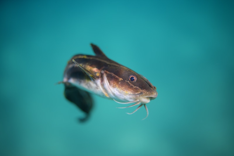
Spines, such as those found in catfish, can also be used to determine the age of a fish. Like otoliths and scales, spines grow in rings over time.
Knowing the age of a fish is essential for managing fisheries and setting regulations on fishing quotas, as older fish may be more valuable to the ecosystem and reproductive success.

Spatial ecology is the study of how organisms interact with each other and their environment across different spatial scales, from the micro-habitat to the global scale. It involves examining the spatial patterns and processes that occur in ecosystems, including how organisms move, disperse, and use resources in their environment.
Spatial ecology considers the physical, biological, and social factors that influence the distribution and abundance of species, as well as ecosystems’ spatial and temporal dynamics. It also considers how changes in the landscape, such as habitat fragmentation and urbanization, can affect species’ distribution and ecological interactions.
Modern spatial ecology often uses geographic information systems (GIS) and remote sensing technologies to map and analyze patterns of species distribution, landscape fragmentation, and habitat suitability.
Spatial ecology is important in developing conservation plans, as it helps scientists and policymakers to understand how ecosystems function and the consequences of different human activities on the environment.
© CWP Environmental 2025